Ask AI on The Internet
Question: Real map of the earth
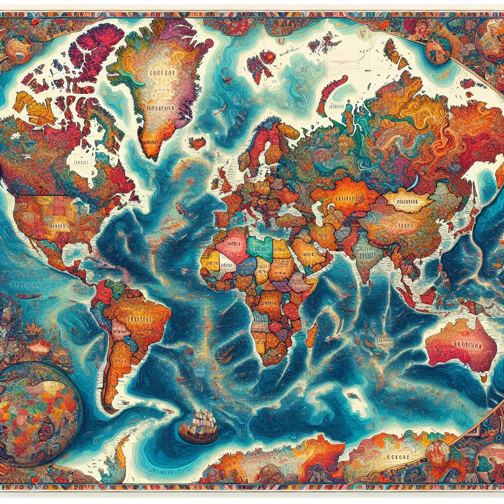
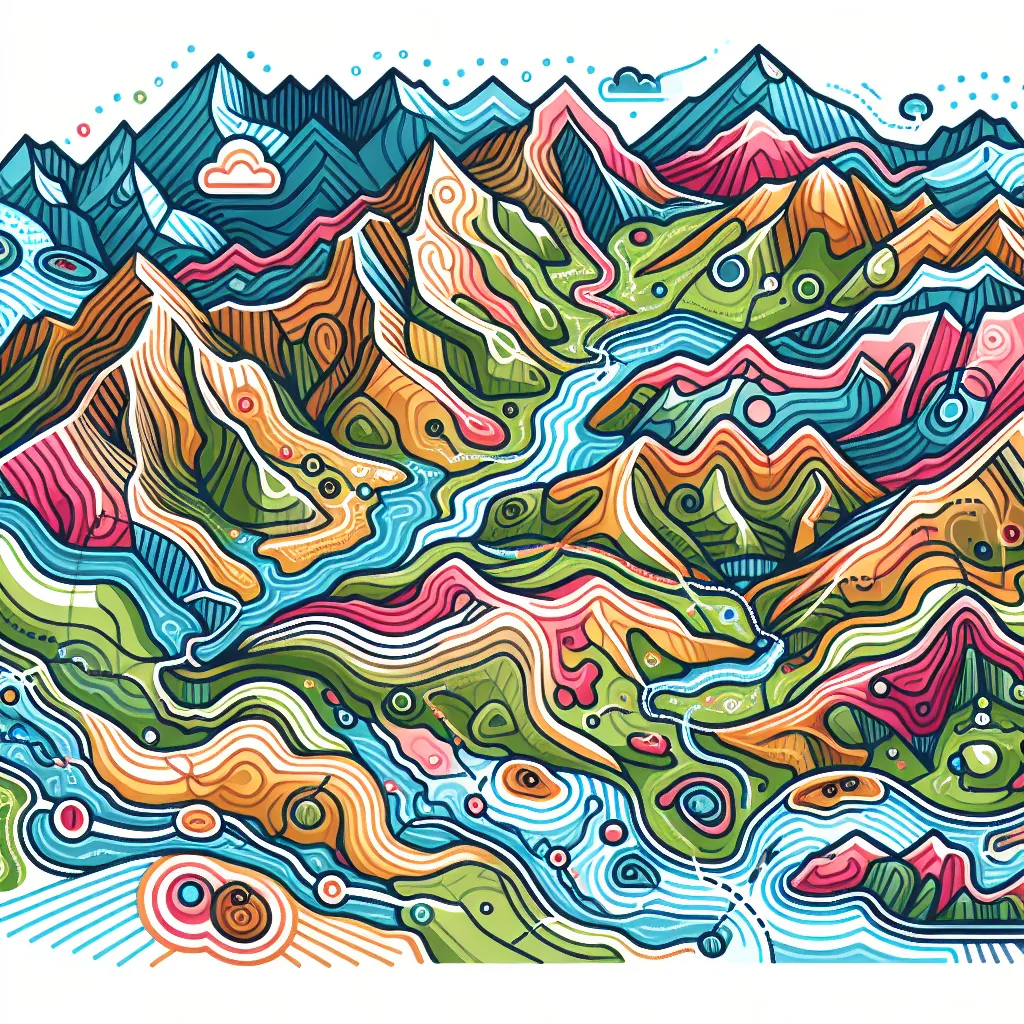
The term "real map of the Earth" can refer to several types of maps, each serving a different purpose and providing different types of information. Here are some of the more commonly referenced types: 1. **Political Map**: Shows countries, borders, and major cities. 2. **Physical Map**: Depicts physical features such as mountains, rivers, and lakes. 3. **Topographic Map**: Shows elevation and landforms using contour lines. 4. **Satellite Map**: Provides a real-time view of Earth's surface as seen from space. 5. **Geological Map**: Displays rock formations and geologic structures. 6. **Climate Map**: Illustrates climate zones and weather patterns. You can find these maps on various platforms: 1. **Google Maps/Earth**: Provides both political and satellite views, as well as street views. 2. **NASA Earth Observatory**: Offers detailed satellite images and scientific data. 3. **National Geographic Maps**: Renowned for high-quality physical, political, and thematic maps. 4. **OpenStreetMap**: A collaborative project to create a free editable map of the world. For educational purposes, libraries, bookstores, and educational websites often offer a variety of atlases and detailed map books.
Think your answer is better than the AI's? Post it below.
Other Most Relevant Posts:


If you want your question answered by an AI, click here.
Post your own comment: