Ask AI on The Internet
Question: Answer the following by using full sentences and not points: 1.What does a closely spaced contour line pattern on a map indicate about the slope of the land? 2.How is a river or stream typically represented on a topographic map? 3.What map symbol is used to indicate a police station? 4.How are contour lines spaced in areas of flat terrain? 5.What does a V-shaped contour line pattern pointing uphill indicate? 6.How is a protected area represented on a topographic map?
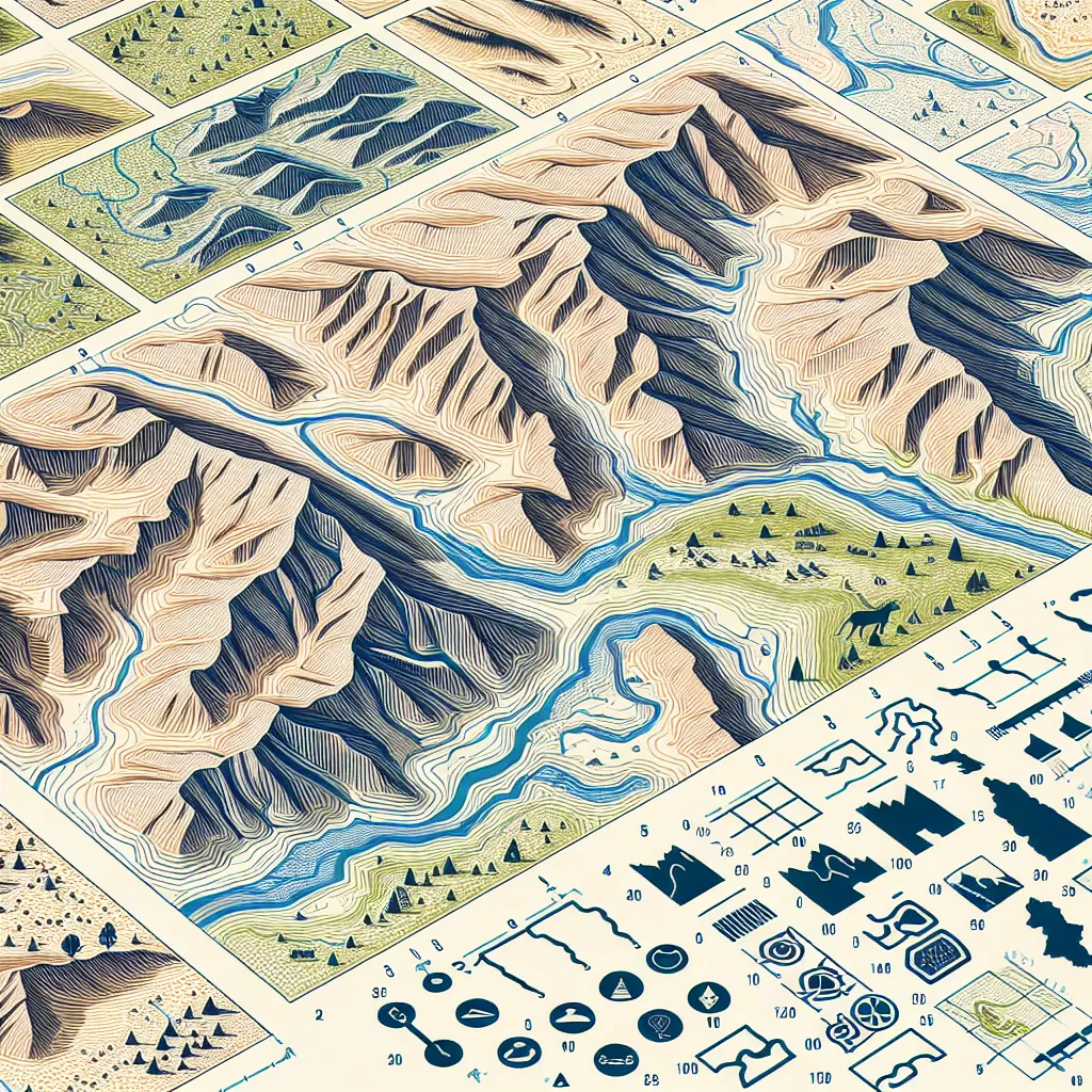
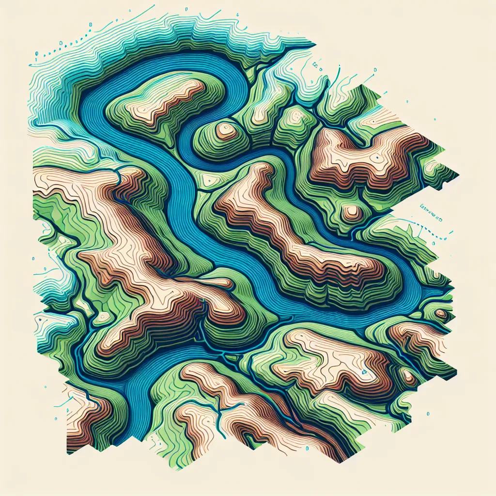
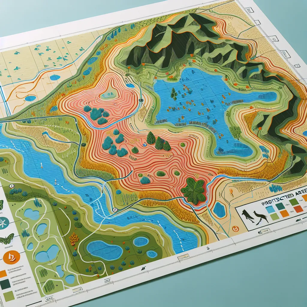
1. A closely spaced contour line pattern on a map indicates that the slope of the land is steep. When the contour lines are close together, it means that there is a significant change in elevation over a short distance. 2. On a topographic map, a river or stream is typically represented by a blue line. The width and pattern of the line can vary, with larger rivers often shown with thicker lines, and smaller streams represented by thinner lines. 3. The map symbol used to indicate a police station usually consists of a small building icon along with the letters "PD" or a badge symbol. The specifics can vary depending on the map's design and legend. 4. In areas of flat terrain, contour lines are spaced widely apart. This indicates that there is only a gradual change in elevation over a large distance, resulting in a flatter landscape. 5. A V-shaped contour line pattern pointing uphill on a map indicates the presence of a valley or a drainage feature such as a river or stream. The point of the "V" faces toward higher elevation, showing that the land dips down along the direction of the flow. 6. A protected area on a topographic map is often represented by various shading patterns, colors, or boundaries that are distinct from other features on the map. This could include hatching, green shading, or a dashed boundary line, and will typically be labeled accordingly in the map's legend or key.
Think your answer is better than the AI's? Post it below.
Question Tags
If you want your question answered by an AI, click here.
Post your own comment: