Ask AI on The Internet
Question: How to identify a conical hill on a map?
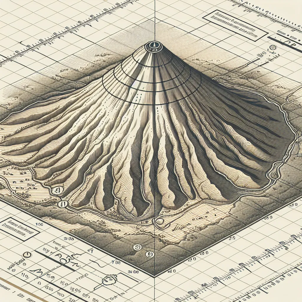
Identifying a conical hill on a map, especially on a topographic map, involves looking at the contour lines, which represent elevation levels. Here are steps to help you spot a conical hill: 1. **Contour Line Shape**: Look for a series of closed, concentric contour lines. These are circular or elliptical in shape and become smaller as they move inward, towards the highest point of the hill. 2. **Contour Line Spacing**: On a conical hill, the contour lines will be evenly spaced, indicating a uniform slope. If the spacing between the lines is consistent and they form a series of nested shapes, it's a good indication that the hill has a regular, conical shape. 3. **Elevation Markings**: Check the elevation numbers marked on the contour lines. These numbers should increase as you move towards the center of the concentric lines, which represents the peak of the hill. 4. **Symmetry**: A conical hill typically has radial symmetry. This means that if you were to draw straight lines from the peak outwards, the contour lines would be evenly spaced around the peak. 5. **Slope Gradients**: The slope should be similar on all sides. If one side is steeper (lines closer together) and the other side is gentler (lines further apart), it might be a different landform like an irregular hill or a ridge. 6. **Peak Indicator**: Sometimes, maps mark the highest point of a hill with a small triangle or a dot specifying the peak elevation. Here's a brief illustration of what to look for: ``` 400 /500\ /600 \ /700 \ /800 \ /900 1000\ ``` In this example, you can see the contour lines form closed loops, becoming smaller and concentric as they approach the summit (1000), indicating a conical hill. Using these guidelines, you should be able to identify a conical hill accurately on a topographic map.
Think your answer is better than the AI's? Post it below.
Other Most Relevant Posts:
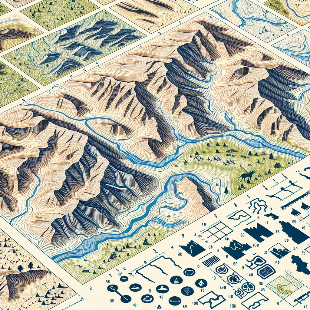 - Interpreting Contour Line Patterns on a Map
- Mapping Water Features
- Identifying Police Stations on Maps
- Understanding Contour Line Spacing
- Recognizing Watercourses on Maps
- Depicting Pr
Question Tags
If you want your question answered by an AI, click here.
Post your own comment: