Ask AI on The Internet
Question: Write a South African high school lesson plan. The lesson should be based on geography map work and should focus on calculating area, gradient on a topographic map. Make the lesson engaging and enjoyable for the learners. Write this as a report.
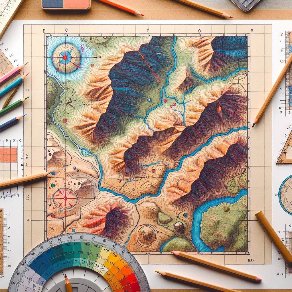
# Lesson Plan Report: Geography Map Work - Calculating Area and Gradient on a Topographic Map ## Goal By the end of this lesson, learners will be able to: - Identify and interpret the various features on a topographic map. - Calculate the area of various sections on a topographic map. - Determine the gradient between two points on a topographic map. - Understand the practical applications of these skills. ## Duration 1 hour (60 minutes) ## Age Group Grade 11-12 ## Resources Required - Topographic maps (one per group of learners) - Grid overlays for maps - Rulers - Pencils and erasers - Graph paper - Calculators - Smartboard or projector - Multimedia presentation (slides) - Handout with exercises and explanations ## Structure of the Lesson ### 1. Introduction (10 minutes) **Objective:** Engage learners and provide an overview of the lesson. **Activity:** - Begin with a brief multimedia presentation illustrating the importance of map work in various real-life scenarios (e.g., urban planning, hiking, environmental conservation). - Pose questions to the class: Why is it important to be able to calculate areas and gradients on a map? What might some practical applications of these skills be? ### 2. Guided Instruction – Calculating Area (15 minutes) **Objective:** Teach learners how to calculate the area on a topographic map. **Activity:** - Explain the concept of scale on a map. Show how to use the scale to determine real-world distances. - Demonstrate how to calculate the area of a regular shape using grid overlays. For irregular shapes, show how to approximate the area by counting full and partial squares on the grid. - Use the smartboard to walk through an example, allowing learners to follow along with their own maps and grid overlays. ### 3. Guided Instruction - Determining Gradient (15 minutes) **Objective:** Teach learners how to determine the gradient between two points on a topographic map. **Activity:** - Explain what a gradient is and why it's important (e.g., road design, environmental science, etc.). - Show how to identify two points on a map and determine their heights using contour lines. - Demonstrate how to calculate the gradient using the formula: Gradient = (Vertical Distance / Horizontal Distance). Emphasize the importance of converting distances using the map’s scale. - Conduct a class exercise in which students help calculate the gradient between two points on the smartboard. ### 4. Group Activity (15 minutes) **Objective:** Let learners practice and apply the concepts in a fun, interactive way. **Activity:** - Divide the class into small groups and give each group a different topographic map. - Assign each group the task of calculating the area of a specific feature (e.g., a lake, a forested region) and the gradient between two specific points. - Encourage groups to work together and discuss their methods. - Circulate the room to provide assistance and ensure groups are on task. ### 5. Conclusion (5 minutes) **Objective:** Review key concepts and provide a closure to the lesson. **Activity:** - Ask groups to share their findings. How did they calculate the area and the gradient? What challenges did they encounter? - Summarize the lesson, reinforcing the importance of precision and accuracy in map work. ### 6. Homework/Assessment (Post-Lesson) **Objective:** Assess learner comprehension and reinforce learning. **Activity:** - Provide a worksheet with additional practice problems, including areas to calculate and gradients to determine on a new topographic map. This will help solidify the learners' understanding. - Instruct learners to complete the worksheet and bring it to the next class for discussion. ## Reflection and Feedback **Objective:** Consider the effectiveness of the lesson and gather feedback for improvement. **Activity:** - After the lesson, reflect on what went well and what could be improved. - Solicit feedback from learners: What did they find most engaging or challenging? Were the examples clear? - Adjust future lessons based on this feedback to better meet the learners' needs. By combining practical exercises with interactive group work, this lesson aims to create a dynamic and engaging environment where learners can develop essential map work skills effectively.
Think your answer is better than the AI's? Post it below.
Question Tags
If you want your question answered by an AI, click here.

Post your own comment: